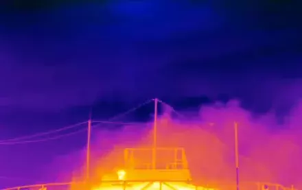
The overwhelming majority of these facilities were found to emit methane at rates less than 100 kg per hour, but in aggregate they contribute 70% of total methane emissions. For effective methane management and mitigation, these sources need to be accounted for.
Different regions, different pictures
Most of the nine biggest methane-emitting U.S. oil and gas basins show an even higher percentage contribution from lower emitting facilities (again, those under 100 kg per hour) compared to the national estimate of 70%.
Figures range from roughly 80% in the Permian, Appalachian, and Eagle Ford basins, up to near 90% in the oil-dominant San Joaquin basin. The Anadarko and Bakken basins fall below the national estimate, but lower emitting facilities still account for about 60% of total oil and gas methane.
The total estimated emissions across all lower-48 US basins amount to a loss rate of 2.4% across oil and gas producing regions (normalized to gross gas production), more than double the EPA Greenhouse Gas Inventory Report for natural gas and petroleum systems in 2021.
Our estimates are largely in line with the results from six out of seven prior studies that predominantly used satellite-derived data from the satellites GOSAT and TROPOMI to perform inversions that determined national estimates of methane emissions from US oil and gas production, with a combined average of 13 million metric tons per year.
At regional scales, our results are in broad agreement with data obtained from a suite of independent aerial remote sensing campaigns across major US oil and gas basins, which included MethaneAIR and other aerial platforms.
Important Implications
The new study looks only at the U.S., but additional research suggests similar patterns in some other oil and gas producing regions internationally. Understanding the total emissions from oil and gas basins, how the emissions are distributed at the site level, and the contributions of larger vs. smaller sources have direct policy implications for methane quantification and mitigation, such as the selection of measurement/screening methods and the required detection sensitivities.
Aerial or satellite platforms focused on high-emitting point-source detection can rapidly locate the relatively small number of larger concentrated sources, offering valuable data on specific facility locations that may allow for rapid mitigation. But additional observational approaches are critically needed to build a more complete picture of the overall emissions – one that our study suggests is dominated by smaller-emitting sources that are not effectively detected by high-emitting point source detection focused satellite and aerial systems.