
ALL METHANE ADDS UP
Fixing the big leaks isn’t enough. Solve the whole problem.
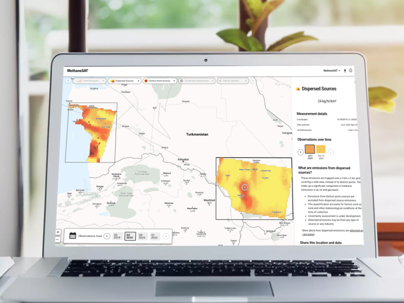
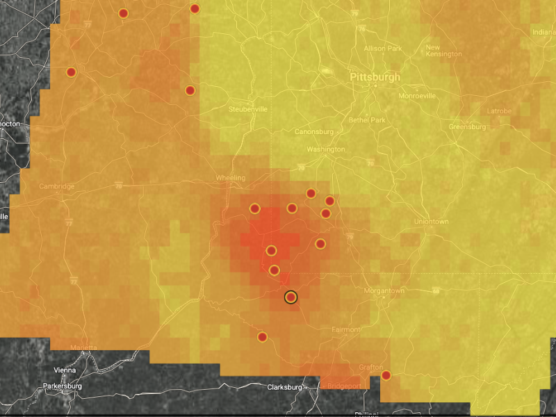
Small, widespread sources account for at least 70% of methane emissions from oil and gas production. MethaneSAT sees what others don’t and provides the high-resolution data necessary to measure whether action is taken.
Case in point: in the Permian, New Mexico’s regulated fields emit less than half the methane of unregulated Texas.
Transparent data
See the whole methane picture online, for free. On our web portal, Google Earth Engine, or Google Cloud.

Data to action
MethaneSAT data reveal how emissions vary across regions and change over time, and unlock solutions to drive maximum reductions.
GROUNDBREAKING SCIENCE
More than a satellite: Our intensive peer-reviewed research is advancing monitoring efforts and solutions to cut methane emissions.
KEY SUPPORTERS


MethaneSAT was conceived and developed by the non-profit Environmental Defense Fund, a global leader in methane science, policy and emissions reduction. EDF’s team of experts, advocates and advisors is helping turn MethaneSAT data into concrete action worldwide. See the full list of MethaneSAT supporters and learn more about Our Team.


